How it's made
Real terrain, printed in its real colours.
Every Exoform piece is a scale model of a real place, built from public map data and printed to order by us.
Step 1
Real data in
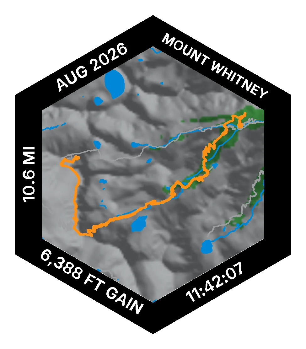
The shape of the ground comes from elevation data (AWS Terrain Tiles). The colours come from ESA WorldCover, a satellite map of land cover: forest, grass, bare rock, snow and water.
Your hike is routed over the OpenStreetMap trail network. We only offer a trail when its mapped length matches the published distance.
Landmarks come from real 3D scans where one exists: Delicate Arch is a scan by Microsoft (CC BY 4.0, via Wikimedia Commons).
Step 2
Printed in real colours
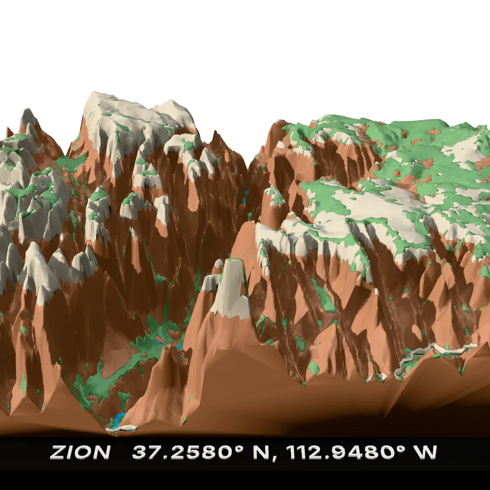
Each piece prints in up to four matte filaments at once on our own printers in the USA, chosen per park: red rock and sand for Zion, granite and snow for Yosemite.
Nothing is painted. The colour runs through the plastic, a plant-based PLA, at 0.2 mm layers.
Zion's four filaments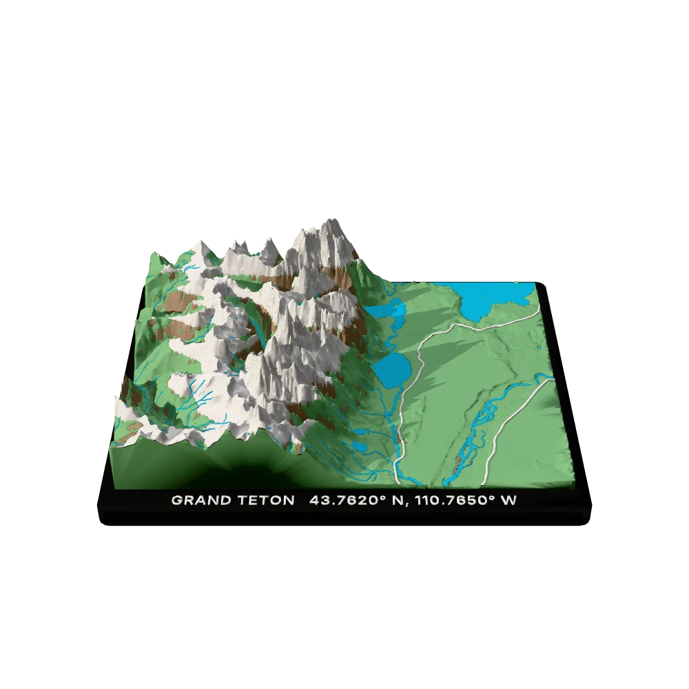
Step 3
Finished and shipped
We check every piece by hand and pack it to travel.
Everything is made to order and ships within 10 days to any US address.